The Mistumis property consists of 40 mineral claims located in James Bay Territory, north of Matagami in the Province of Quebec, covering 2,126 hectares

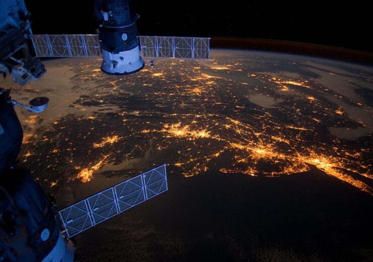
Megawatt engages Japosat for satellite imagery analysis at Mistumis Lithium Property, James Bay, Quebec. (Credit: David Mark from Pixabay)
Megawatt Lithium and Battery Metals Corp. (CSE: MEGA) (FSE: WR20) (OTC PINK: WALRF) (the “Company” or “Megawatt”) announces it has engaged Japosat Satellite Mapping (“Japosat”) of Montreal, Quebec to provide analysis of satellite imagery at the Company’s Mistumis Property in the James Bay Territory, Quebec. The Mistumis property consists of 40 mineral claims located in James Bay Territory, north of Matagami in the Province of Quebec, covering 2,126 hectares. Japosat will acquire and process satellite imagery in order to provide detailed data identifying areas of mineral surface outcrop, areas with potential for lithium mineralization, priority locations for surface sampling and accessibility information. The analysis of the data will be used to formulate the upcoming season’s sampling and prospecting field work planned at the Mistumis property.
David Thornley-Hall, CEO, commented, “We are procuring satellite imagery analysis at Mistumis as an initial tool that will provide significant information to finetune our program in advance of putting boots on the ground over a large and relatively unexplored area.”
Source: Company Press Release
